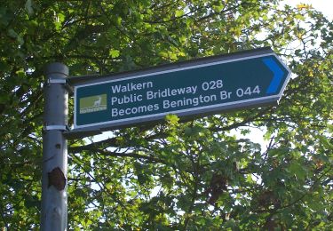
1,3 km | 1,6 km-effort
New River Path
SityTrail - itinéraires balisés pédestres
Tous les sentiers balisés d’Europe GUIDE+
Longueur
33 km
Altitude max
48 m
Dénivelé positif
175 m
Km-Effort
35 km
Altitude min
25 m
Dénivelé négatif
173 m
Boucle
Non
Balise
Date de création :
2025-02-05 09:50:59.884
Dernière modification :
2025-02-05 09:50:59.884
8h02
Difficulté : Difficile
Application GPS de randonnée GRATUITE
À propos
Randonnée A pied de 33 km à découvrir à Angleterre, Hertfordshire, East Hertfordshire. Cette randonnée est proposée par SityTrail - itinéraires balisés pédestres.
Localisation
Pays :
Royaume-Uni
Région :
Angleterre
Département/Province :
Hertfordshire
Commune :
East Hertfordshire
Localité :
Unknown
Départ:(Dec)
Départ:(UTM)
702813 ; 5743654 (30U) N.
Commentaires
Randonnées à proximité
My trail
A pied
Facile
North Hertfordshire,
Angleterre,
Hertfordshire,
Royaume-Uni
2,6 km | 3,1 km-effort
35min
Non
aaa
Marche
Très facile
Stevenage,
Angleterre,
Hertfordshire,
Royaume-Uni
1,3 km | 1,4 km-effort
15min
Non
WGC100 Centenary Walk
A pied
Moyen
Welwyn Hatfield,
Angleterre,
Hertfordshire,
Royaume-Uni
20 km | 23 km-effort
5h 14min
Oui
WGC100 Centenary Walk
A pied
Facile
Welwyn Hatfield,
Angleterre,
Hertfordshire,
Royaume-Uni
7,1 km | 8,3 km-effort
1h 53min
Non
Broxbourne Woods NNR Trail
A pied
Facile
Broxbourne,
Angleterre,
Hertfordshire,
Royaume-Uni
7,3 km | 8,4 km-effort
1h 54min
Oui
Netteswell Trail
A pied
Facile
Harlow,
Angleterre,
Essex,
Royaume-Uni
5,9 km | 6,5 km-effort
1h 28min
Oui
HOOP - Hitchin Outer Orbital Path
A pied
Moyen
North Hertfordshire,
Angleterre,
Hertfordshire,
Royaume-Uni
18,8 km | 21 km-effort
4h 47min
Oui
Circular Walk "Town to Country No 3"
A pied
Facile
East Hertfordshire,
Angleterre,
Hertfordshire,
Royaume-Uni
7,2 km | 8,7 km-effort
1h 58min
Oui